Almost seven years after hiking out of a blizzard into Wrightwood, CA and missing 22 Miles of the PCT due to snow and ice, we returned this past week to complete that section of trail. This trip allowed us to test our gear as well as ourselves… and boy did it ever.
If I had but two words to describe this hike, they would be: 1) windy and 2) cold. Given a third word – beautiful, maybe rugged. Those two tie for third place.
Our plan was to hike from the middle of this 22 mi stretch to one end (the Acorn Trail turnoff), double back to the other end (Islip Saddle at Hwy 2), and then hike back to our car (Vincent Gap). Within this section, elevations range from 6500 ft to 9300 ft as the trail climbs both directions: north up Mt. Baden-Powell and south toward Mountain High and our Acorn Trail endpoint.
This hike contained moments of amazing wrapped in stretches of sincere effort and discomfort (but who hikes for the comfort of it?). Actually, even the uncomfortable parts were sometimes amazing.
I’ll recap the amazing:
Smoldering Campfires: Seriously, this is some of the stuff hiking nightmares are made of. You’re all alone in a campground and nestled in your tent with the wind whipping by outside when you think you smell smoke. You ask your partner, but he doesn’t smell anything. So you wait thinking you were dreaming it. The smoke smell doesn’t go away, but it does get stronger. You shake your partner fully awake, and he crawls out of the tent, looks around and says, “Oh s***. Someone’s campfire reignited.” We were the only ones left in this primitive campground that night and therefore the only water source to put out this fire. A gallon of water later (extra because the weather was cold enough that we did not need to drink it, thankfully) and some serious stirring and all ended well. But Smokey the Bear would not have approved. If you know anyone, especially a novice camper, heading out this season, please guide them to resources teaching how to properly put out campfires… and reiterate the importance of doing so. We thank you.
The PCT Hiker in Its Natural Habitat: After that crazy night, we were delighted the next day to be interviewed (along with other hikers) by different school groups doing lessons on nature and the Pacific Crest Trail. We were definite spectacles to the students whose teachers were so excited to run into “actual PCT hikers.” We answered all questions but shrugged off some of the labeling. We won’t really feel like “actual PCT hikers” until sometime tomorrow. But it was so heartwarming to find out that elementary students were learning about the trail in school and to see educators so excited about the PCT and its hikers.
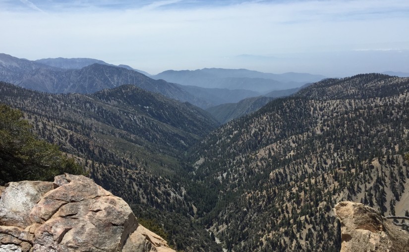
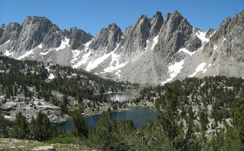
Summiting Mt. Baden-Powell: This was definitely the highlight of the trip. The climb is intense with few views until the last mile or so. But the last mile makes the climb well worth it. There were great views all around:
The Best Laid Plans: Remember how I mentioned our plan above? Well, we’d intended to stretch it out over about 5 days of hiking – taking our time, hiking shorter miles, getting used to multiple days of hiking, etc. Mother Nature had other plans. The weather turned ever colder and windier as the week wore on. The morning of our second full day of hiking we met some rangers and checked in on the weather for the rest of the week. Stormy, they said. Snowy, they said (again?!). But not until Thursday night, they said. Hmm. Thursday night we were planning on camping just below 9000 ft and hiking down Friday morning. Not a good idea, they said. And then this, “But if you get stuck out there, you can just call us. That’s what we’re here for. We can come get you.” Right. To air lift us off a mountain in a snow storm. Exciting as that sounds, we’ll pass. We’d like our first helicopter ride to be… how should I put this… ah yes, scheduled. So we change our plans. We shorten the trip by hiking a little farther on day 3 and then going all the way back to the car on day 4 (Thursday), instead of waiting until Friday morning.
And then, on day 3, we hiked the beautiful, rugged, windy, cold section from the top of the mountain down to the highway (~3000 ft down). It was spectacular, and made us ache, and I didn’t take my warm hat off once all day. We were about 3 miles from the highway enjoying a respite from it all in a sunny spot when Brian turned to me and said, “There is no way in hell I’m hiking back up over that thing. Let’s hitch.” And so we did… ending our hike on day 3 with a celebratory In-n-Out burger, a shower, and the best night of sleep all week.
Since coming in from the Wrightwood section, we’ve debriefed, adjusted our gear and strategy a bit, and are prepped to head out again. Today, we leave for the beginning of our two-month long section hike. We start from Sierra City and will check in with you again in Chester!
